
Fasciculus:Austria relief location map.jpg

Mensura huius perspectionis: 800 × 446 elementa imaginalia. Aliae mensurae: 320 × 178 elementa imaginalia | 640 × 357 elementa imaginalia | 1 256 × 700 elementa imaginalia.
Sua resolutio (1 256 × 700 elementa imaginalia, magnitudo fasciculi: 677 chiliocteti, typus MIME: image/jpeg)
Summarium
| Descriptio |
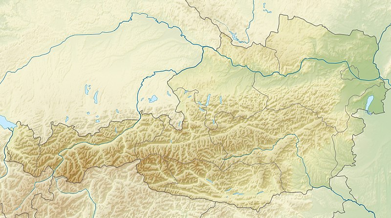
English: Location map of Austria
Equirectangular projection, N/S stretching 150 %. Geographic limits of the map:
|
| Datum | |
| Fons | Opus proprium |
| Auctor | Uwe Dedering |
| Other versions |
Derivative works of this file: ÖRF 2011.png
|

Potestas usoris
I, the copyright holder of this work, hereby publish it under the following licenses:
This file is licensed under the Creative Commons Attribution-Share Alike 3.0 Unported license.
- Tibi licet:
- communicare – copiare, distribuere et committere hoc opus
- to remix – to adapt the work
- His condicionibus:
- attributio – You must give appropriate credit, provide a link to the license, and indicate if changes were made. You may do so in any reasonable manner, but not in any way that suggests the licensor endorses you or your use.
- aequa parte – If you remix, transform, or build upon the material, you must distribute your contributions under the same or compatible license as the original.

|
Licet hoc documentum exscribere vel distribuere vel demutare sub GNU Liberarum Litterarum Licentiae conditionibus in editione 1.2 aut in ulla editione recentiori a Fundatione Liberarum Programmationis Partium publicata; praeterquam Sectiones Immutabiles et Verba Involucra Adversa et Aversa. Licentiae exemplar praesto est in sectione intitulata GNU Free Documentation License. |
Tibi typum permissionis ligere licet.

|
This map image could be re-created using vector graphics as an SVG file. This has several advantages; see Commons:Media for cleanup for more information. If an SVG form of this image is available, please upload it and afterwards replace this template with
{{vector version available|new image name}}.
It is recommended to name the SVG file “Austria relief location map.svg”—then the template Vector version available (or Vva) does not need the new image name parameter. |


Historia fasciculi
Presso die vel tempore fasciculum videbis, sicut tunc temporis apparuit.
| Dies/Tempus | Minutio | Dimensiones | Usor | Sententia | |
|---|---|---|---|---|---|
| recentissima | 09:14, 28 Iunii 2010 | | 1 256 × 700 (677 chiliocteti) | Uwe Dedering | very little border change |
| 12:24, 26 Aprilis 2010 |  | 1 256 × 700 (677 chiliocteti) | Uwe Dedering | rhine | |
| 12:54, 24 Aprilis 2010 |  | 1 256 × 700 (676 chiliocteti) | Uwe Dedering | {{Information |Description={{en|1=Location map of Austria}} Equirectangular projection, N/S stretching 150 %. Geographic limits of the map: * N: 49.2° N * S: 46.3° N * W: 9.4° E * E: 17.2° E Made with Natural Earth. Free |
Nexus ad fasciculum
Ad hunc fasciculum nectunt:
Usus fasciculi per inceptus Vicimediorum
Quae incepta Vici fasciculo utuntur:
- Usus in ab.wikipedia.org
- Usus in als.wikipedia.org
- Usus in am.wikipedia.org
- Usus in an.wikipedia.org
- Usus in ar.wikipedia.org
- Usus in arz.wikipedia.org
- Usus in ast.wikipedia.org
- Usus in as.wikipedia.org
- Usus in azb.wikipedia.org
- Usus in az.wikipedia.org
- Usus in ban.wikipedia.org
- Usus in ba.wikipedia.org
- Usus in be-tarask.wikipedia.org
- Usus in be.wikipedia.org
- Usus in bh.wikipedia.org
- Usus in bn.wikipedia.org
View more global usage of this file.