
Fasciculus:USA Pennsylvania location map.svg

Size of this PNG preview of this SVG file: 800 × 536 elementa imaginalia. Aliae mensurae: 320 × 214 elementa imaginalia | 640 × 429 elementa imaginalia | 1 024 × 686 elementa imaginalia | 1 280 × 858 elementa imaginalia | 2 560 × 1 716 elementa imaginalia | 1 201 × 805 elementa imaginalia.
Sua resolutio (fasciculus SVG, nominale 1 201 × 805 elementa imaginalia, magnitudo fasciculi: 146 chiliocteti)
Summarium
| Descriptio |
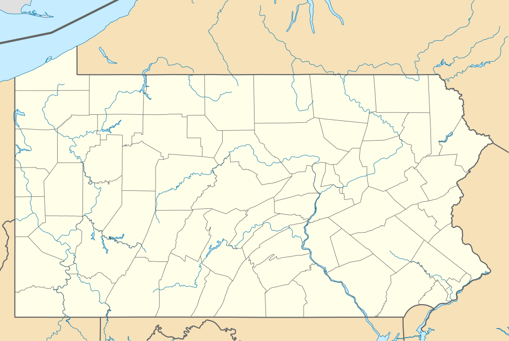
Quadratische Plattkarte, N-S-Streckung 130.0 %. Geographische Begrenzung der Karte:
Equirectangular projection, N/S stretching 130.0 %. Geographic limits of the map:
|
||
| Datum | |||
| Fons | Opus proprium | ||
| Auctor | Alexrk2 | ||
| Other versions |
Derivative works of this file: |
||
| SVG genesis |
|

Potestas usoris
I, the copyright holder of this work, hereby publish it under the following licenses:

|
Licet hoc documentum exscribere vel distribuere vel demutare sub GNU Liberarum Litterarum Licentiae conditionibus in editione 1.2 aut in ulla editione recentiori a Fundatione Liberarum Programmationis Partium publicata; praeterquam Sectiones Immutabiles et Verba Involucra Adversa et Aversa. Licentiae exemplar praesto est in sectione intitulata GNU Free Documentation License. |
This file is licensed under the Creative Commons Attribution 3.0 Unported license.
- Tibi licet:
- communicare – copiare, distribuere et committere hoc opus
- to remix – to adapt the work
- His condicionibus:
- attributio – You must give appropriate credit, provide a link to the license, and indicate if changes were made. You may do so in any reasonable manner, but not in any way that suggests the licensor endorses you or your use.
Tibi typum permissionis ligere licet.
Historia fasciculi
Presso die vel tempore fasciculum videbis, sicut tunc temporis apparuit.
| Dies/Tempus | Minutio | Dimensiones | Usor | Sententia | |
|---|---|---|---|---|---|
| recentissima | 23:51, 9 Martii 2019 | | 1 201 × 805 (146 chiliocteti) | AndreyKva | Optimized. |
| 11:11, 5 Iulii 2009 |  | 1 201 × 805 (420 chiliocteti) | Alexrk2 | == Beschreibung == {{Information |Description= {{de|Positionskarte von Pennsylvania, USA}} Quadratische Plattkarte, N-S-Streckung 130.0 %. Geographische Begrenzung der Karte: * N: 42.7° N * S: 39.5° N * W: 80.7° W * O: |
Nexus ad fasciculum
Nullae paginae hoc fasciculo utuntur.
Usus fasciculi per inceptus Vicimediorum
Quae incepta Vici fasciculo utuntur:
- Usus in an.wikipedia.org
- Usus in ar.wikipedia.org
- Usus in ast.wikipedia.org
- Usus in azb.wikipedia.org
- آلتونا، پنسیلوانیا
- فارل، پنسیلوانیا
- واکسال، پنسیلوانیا
- سیلکورس، پنسیلوانیا
- استونراستون، پنسیلوانیا
- مکینزبرق، پنسیلوانیا
- رولاک، پنسیلوانیا
- ماشنون، پنسیلوانیا
- مسیاح کالج، پنسیلوانیا
- وست فیرویو، پنسیلوانیا
- وینهایتس، پنسیلوانیا
- بلویل، پنسیلوانیا
- نئومی، پنسیلوانیا
- سینت مایکل، پنسیلوانیا
- قلن لیون، پنسیلوانیا
- سنتمایکل سیدمن، پنسیلوانیا
- آپر اکستر، پنسیلوانیا
- شیپینزبرق یونیورسیتی، پنسیلوانیا
- لاول-لوکاستدیل، پنسیلوانیا
- الیم، پنسیلوانیا
- استونیبروک ویلشایر، پنسیلوانیا
- اوک هیلز، پنسیلوانیا
- لمونت فرنس، پنسیلوانیا
- هاملز وارف، پنسیلوانیا
- آیولا، پنسیلوانیا
- کریمر، پنسیلوانیا
- ویدویل، پنسیلوانیا
- مانت ایقل، پنسیلوانیا
- ماریون، پنسیلوانیا
- سندهیل، پنسیلوانیا
- ایست برویک، پنسیلوانیا
- لیک وینونا، پنسیلوانیا
- سیدمن، پنسیلوانیا
- لاتیمر، پنسیلوانیا
- لایت استریت، پنسیلوانیا
- ایست واترفورد، پنسیلوانیا
- مککانلزتاون، پنسیلوانیا
- سالیکس، پنسیلوانیا
View more global usage of this file.