
Fasciculus:Peru location map.svg

Size of this PNG preview of this SVG file: 492 × 599 elementa imaginalia. Aliae mensurae: 197 × 240 elementa imaginalia | 394 × 480 elementa imaginalia | 631 × 768 elementa imaginalia | 841 × 1 024 elementa imaginalia | 1 682 × 2 048 elementa imaginalia | 2 200 × 2 679 elementa imaginalia.
Sua resolutio (fasciculus SVG, nominale 2 200 × 2 679 elementa imaginalia, magnitudo fasciculi: 15.72 megaocteti)
Summarium
| Descriptio |
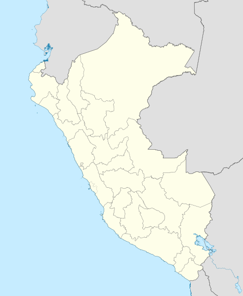
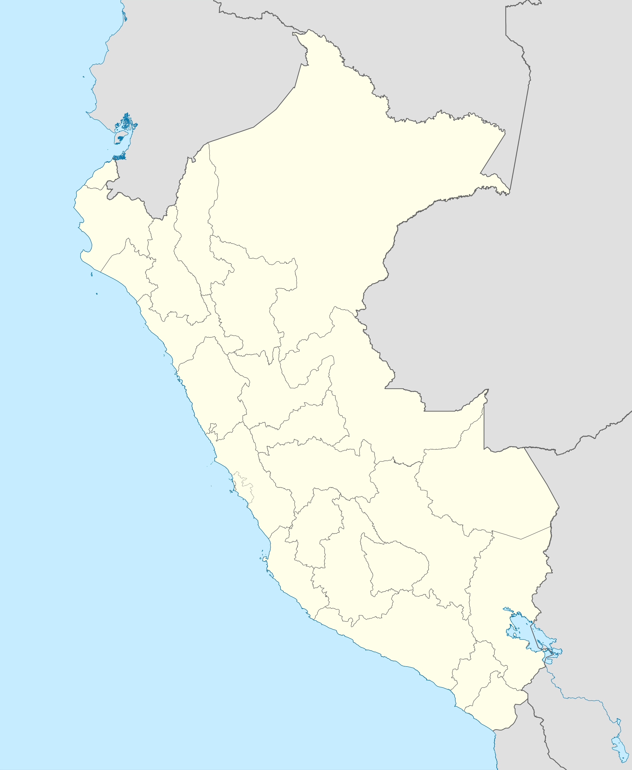
English: Blank political map of Peru
Equirectangular projection, Geographic limits of the map:
|
| Datum | (UTC) |
| Fons | Peru_-_(Template).svg |
| Auctor | User:Spischot |
.svg)
| This is a retouched picture, which means that it has been digitally altered from its original version. Modifications: Changed style to conform location maps 2008. The original can be viewed here: Peru - (Template).svg:
|
Potestas usoris
I, the copyright holder of this work, hereby publish it under the following license:
This file is licensed under the Creative Commons Attribution-Share Alike 3.0 Unported license.
- Tibi licet:
- communicare – copiare, distribuere et committere hoc opus
- to remix – to adapt the work
- His condicionibus:
- attributio – You must give appropriate credit, provide a link to the license, and indicate if changes were made. You may do so in any reasonable manner, but not in any way that suggests the licensor endorses you or your use.
- aequa parte – If you remix, transform, or build upon the material, you must distribute your contributions under the same or compatible license as the original.
Original upload log
This image is a derivative work of the following images:
- File:Peru_-_(Template).svg licensed with Cc-by-sa-3.0
- 2009-07-21T07:54:54Z Huhsunqu 820x1000 (1674312 Bytes) detail map
- 2009-07-15T06:39:44Z Huhsunqu 820x1000 (1396540 Bytes) ANCHOS
- 2009-07-06T05:07:34Z Huhsunqu 820x1000 (1398457 Bytes) {{Information |Description={{en|1=Blank political map of Perú}} {{es|1=Mapa plantilla de las regiones y departamentos del Perú.}} |Source=trabajo propio (own work) |Author=[[User:Huhsunqu|Huhsunqu]] |Date=2009-07-05 |Permis
Uploaded with derivativeFX
Historia fasciculi
Presso die vel tempore fasciculum videbis, sicut tunc temporis apparuit.
| Dies/Tempus | Minutio | Dimensiones | Usor | Sententia | |
|---|---|---|---|---|---|
| recentissima | 00:52, 12 Martii 2023 | | 2 200 × 2 679 (15.72 megaocteti) | Waterloo1883 | Corrección del marco izquierdo y disminución del grosor de los limites administrativos. |
| 22:15, 23 Decembris 2020 |  | 1 033 × 1 258 (13.78 megaocteti) | Waterloo1883 | Límites departamentales actuales. | |
| 19:20, 1 Maii 2018 |  | 820 × 1 000 (777 chiliocteti) | Janitoalevic | Fixed size | |
| 18:54, 1 Maii 2018 |  | 875 × 1 067 (775 chiliocteti) | Janitoalevic | *Fixed coastline, international and internal borders. *Added San Lorenzo island *Better Lake Titicaca | |
| 21:33, 23 Octobris 2009 |  | 820 × 1 000 (807 chiliocteti) | Spischot | {{Information |Description={{en|1=Blank political map of en:Peru}} Equirectangular projection, Geographic limits of the map: * N: 0.73° N * S: 19.36° S * W: 83.25° W * E: 66.75° W |Source=*File:Peru_-_(Template).svg |Date=2009-10-23 21:27 |
.svg)
Nexus ad fasciculum
Nullae paginae hoc fasciculo utuntur.
Usus fasciculi per inceptus Vicimediorum
Quae incepta Vici fasciculo utuntur:
- Usus in af.wikipedia.org
- Usus in an.wikipedia.org
- Usus in ar.wikipedia.org
- Usus in ast.wikipedia.org
- Llagu Titicaca
- Ríu Amazones
- Lima
- Rumicolca
- Base aérea El Pato
- Concepción (Perú)
- Ríu Apurímac
- Mismi
- Ríu Madre de Dios
- Cuzco
- Sacsayhuamán
- Jenaro Herrera (Perú)
- Palaciu Llexislativu del Perú
- La Rinconada (Perú)
- Santuariu históricu de Machu Picchu
- Tabayones les Trés Hermanes
- Tabayón Yumbilla
- Catarata Gocta
- Huandoy
- Huascarán
- Yerupajá
- Módulu:Mapa de llocalización/datos/Perú
- Módulu:Mapa de llocalización/datos/Perú/usu
- Copa América 2004
- Campeonatu Descentralizáu 2018
- Callao
- Universidá Inca Garcilaso de la Vega
- Aeropuertu Alf. FAP David Figueroa Fernandini
- Aeropuertu Cadete FAP Guillermo del Castillo Paredes
- Aeropuertu Capitán FAP Renán Elías Olivera
- Aeropuertu Francisco Carlé
- Aeropuertu Internacional Alejandro Velasco Astete
- Aeropuertu Internacional Capitán FAP José A. Quiñones
- Aeropuertu Internacional Coronel FAP Carlos Ciriani Santa Rosa
View more global usage of this file.