
Fasciculus:Map of New Guinea Demis.png
Mensura huius perspectionis: 800 × 424 elementa imaginalia. Aliae mensurae: 320 × 170 elementa imaginalia | 640 × 339 elementa imaginalia | 1 373 × 728 elementa imaginalia.
Sua resolutio (1 373 × 728 elementa imaginalia, magnitudo fasciculi: 303 chiliocteti, typus MIME: image/png)
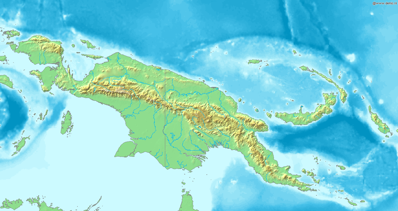
Map of New Guinea.
Bounding box West 130°, South -12°, East 156.5°, North 2°. Center at 5°00′00″S 143°15′00″E / 5.00000°S 143.25000°E.
This image is in the public domain because it came from the site https://www.demis.nl/products/web-map-server/examples/ and was released by the copyright holder. Permission is granted to copy, distribute and/or modify this map since it is based on free of copyright images from: www.demis.nl. See also approval email on de.wp and its clarification.
|
| This work has been released into the public domain by its copyright holder, www.demis.nl. This applies worldwide. In some countries this may not be legally possible; if so: www.demis.nl grants anyone the right to use this work for any purpose, without any conditions, unless such conditions are required by law.
|
Historia fasciculi
Presso die vel tempore fasciculum videbis, sicut tunc temporis apparuit.
| Dies/Tempus | Minutio | Dimensiones | Usor | Sententia | |
|---|---|---|---|---|---|
| recentissima | 16:05, 20 Decembris 2006 | | 1 373 × 728 (303 chiliocteti) | Mats Halldin~commonswiki | Map of New Guinea. Bounding box West 130°, South -12°, East 156.5°, North 2°. Center at {{coor d|5.00000|S|143.25000|E|scale:8400000}}. {{demis-pd}} Category:Maps of Oceania |
Nexus ad fasciculum
Ad hunc fasciculum nectit: