
Fasciculus:Yemen relief location map.jpg

Mensura huius perspectionis: 800 × 523 elementa imaginalia. Aliae mensurae: 320 × 209 elementa imaginalia | 640 × 418 elementa imaginalia | 1 024 × 669 elementa imaginalia | 1 280 × 836 elementa imaginalia | 1 693 × 1 106 elementa imaginalia.
Sua resolutio (1 693 × 1 106 elementa imaginalia, magnitudo fasciculi: 958 chiliocteti, typus MIME: image/jpeg)
| Descriptio |
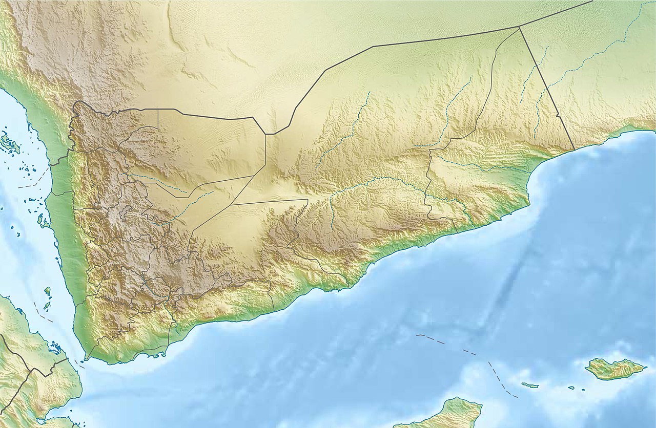
Deutsch: Physische Positionskarte vom Jemen
Quadratische Plattkarte, N-S-Streckung 104 %. Geographische Begrenzung der Karte:
English: Physical location map of Yemen
Equirectangular projection, N/S stretching 104 %. Geographic limits of the map:
|
| Datum | |
| Fons |
Opus proprium, using
|
| Auctor | Carport |
| Permissio (Reusing this file) |
This file is licensed under the Creative Commons Attribution-Share Alike 3.0 Unported license.
|
| Other versions |
|

Historia fasciculi
Presso die vel tempore fasciculum videbis, sicut tunc temporis apparuit.
| Dies/Tempus | Minutio | Dimensiones | Usor | Sententia | |
|---|---|---|---|---|---|
| recentissima | 19:28, 3 Augusti 2017 | | 1 693 × 1 106 (958 chiliocteti) | Mélomène | Soqotra and other islands |
| 18:46, 14 Decembris 2012 |  | 1 693 × 1 106 (751 chiliocteti) | Carport | {{Information |Description= {{de|Physische Positionskarte vom Jemen}} Quadratische Plattkarte, N-S-Streckung 104 %. Geographische Begrenzung der Karte: * N: 19.5° N * S: 11.4° N * W: 41.8° O * O: 54.7° O {{en|Physical location map of ... |
Nexus ad fasciculum
Ad hunc fasciculum nectit:
Usus fasciculi per inceptus Vicimediorum
Quae incepta Vici fasciculo utuntur:
- Usus in ar.wikipedia.org
- Usus in ast.wikipedia.org
- Usus in azb.wikipedia.org
- Usus in az.wikipedia.org
- Usus in bcl.wikipedia.org
- Usus in be-tarask.wikipedia.org
- Usus in bg.wikipedia.org
- Usus in bn.wikipedia.org
View more global usage of this file.