
Fasciculus:Amazonas MesoMicroMunicip.svg

Size of this PNG preview of this SVG file: 800 × 561 elementa imaginalia. Aliae mensurae: 320 × 224 elementa imaginalia | 640 × 449 elementa imaginalia | 1 024 × 718 elementa imaginalia | 1 280 × 898 elementa imaginalia | 2 560 × 1 796 elementa imaginalia | 985 × 691 elementa imaginalia.
Sua resolutio (fasciculus SVG, nominale 985 × 691 elementa imaginalia, magnitudo fasciculi: 721 chiliocteti)

|
Standardization of derivative maps
Feel free to create derivations of this work, but if you want to illustrate a Wikipedia article with derivative works of this or similar maps of Brazil, please strictly follow the visual standard, nomenclature and classification already in use. All maps of Brazilian subdivisions are being adaptated or created in this way. We do not want to inhibit creativity but the pattern adopted here was presented and accepted by the Lusophone community and should be followed whenever possible. |
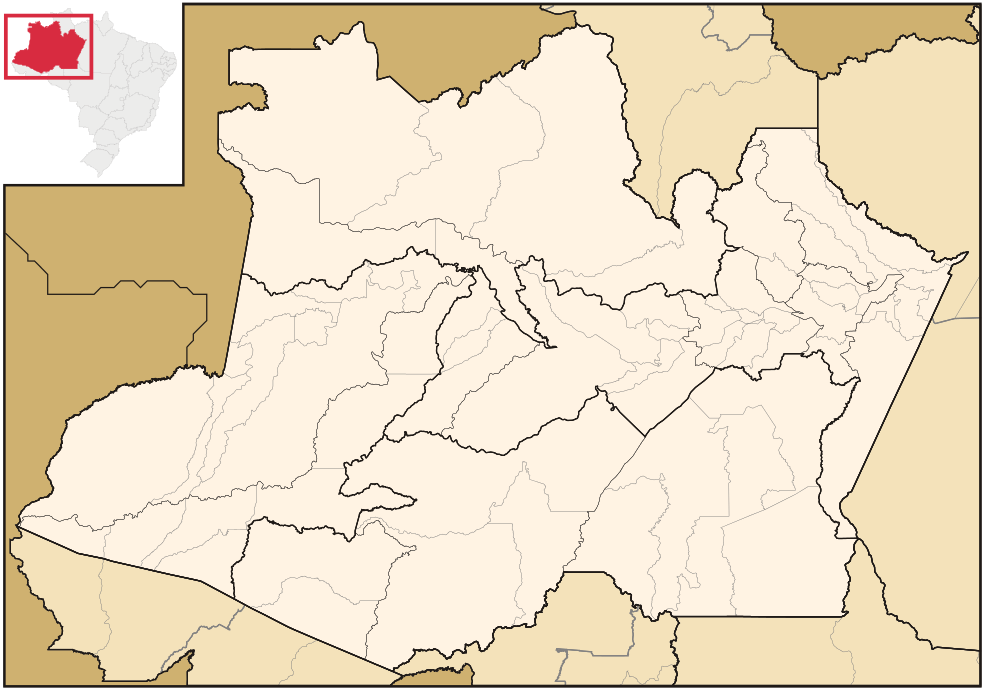
| Descriptio | Map of Amazonas state | ||||||||
| Datum | |||||||||
| Fons | Opus proprium | ||||||||
| Auctor | Raphael Lorenzeto de Abreu | ||||||||
| Permissio (Reusing this file) |
I, the copyright holder of this work, hereby publish it under the following licenses:
This file is licensed under the Creative Commons Attribution 2.5 Generic license.
Tibi typum permissionis ligere licet. |
||||||||
| Other versions | Derivative works of this file: Brazil Amazonas location map.svg | ||||||||
| SVG genesis |

Historia fasciculi
Presso die vel tempore fasciculum videbis, sicut tunc temporis apparuit.
| Dies/Tempus | Minutio | Dimensiones | Usor | Sententia | |
|---|---|---|---|---|---|
| recentissima | 02:30, 30 Aprilis 2006 | | 985 × 691 (721 chiliocteti) | Raphael.lorenzeto | {{Information| |Description=Map of Amazonas state |Source=own work |Date=April, 29 2006 |Author=Raphael Lorenzeto de Abreu |Permission={{self2|GFDL|cc-by-2.5}} |other_versions= }} Category:Maps of Amazonas (Brazil) |
Nexus ad fasciculum
Nullae paginae hoc fasciculo utuntur.
Usus fasciculi per inceptus Vicimediorum
Quae incepta Vici fasciculo utuntur:
- Usus in bg.wikipedia.org
- Usus in bpy.wikipedia.org
- Usus in de.wikipedia.org
- Usus in eo.wikipedia.org
- Usus in es.wikipedia.org
- Usus in fa.wikipedia.org
- Usus in no.wikipedia.org
- Usus in pt.wikipedia.org
- Usus in pt.wikinews.org
- Usus in pt.wiktionary.org
- Usus in ro.wikipedia.org
- Usus in zh.wikipedia.org