
Fasciculus:United Kingdom relief location map.jpg

Mensura huius perspectionis: 388 × 600 elementa imaginalia. Aliae mensurae: 155 × 240 elementa imaginalia | 310 × 480 elementa imaginalia | 497 × 768 elementa imaginalia | 662 × 1 024 elementa imaginalia | 1 348 × 2 083 elementa imaginalia.
Sua resolutio (1 348 × 2 083 elementa imaginalia, magnitudo fasciculi: 831 chiliocteti, typus MIME: image/jpeg)
Du
Summarium
| Descriptio |
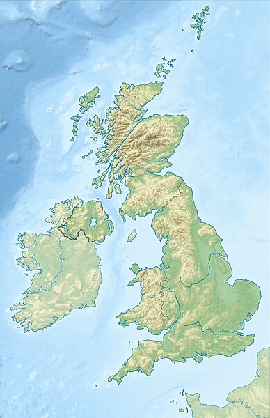
Deutsch: Positionskarte des Vereinigten Königreichs
Quadratische Plattkarte, N-S-Streckung 170 %. Geographische Begrenzung der Karte:
English: Location map of the United Kingdom
Equirectangular projection, N/S stretching 170 %. Geographic limits of the map:
|
| Datum | |
| Fons |
own work, using SRTM Data, |
| Auctor | Alexrk2 |
| Other versions |
|


|
This map has been made or improved in the German Kartenwerkstatt (Map Lab). You can propose maps to improve as well.
|
ПРИВЕТ ВСЕМ
Potestas usoris
I, the copyright holder of this work, hereby publish it under the following licenses:

|
Licet hoc documentum exscribere vel distribuere vel demutare sub GNU Liberarum Litterarum Licentiae conditionibus in editione 1.2 aut in ulla editione recentiori a Fundatione Liberarum Programmationis Partium publicata; praeterquam Sectiones Immutabiles et Verba Involucra Adversa et Aversa. Licentiae exemplar praesto est in sectione intitulata GNU Free Documentation License. |
This file is licensed under the Creative Commons Attribution-Share Alike 3.0 Unported license.
- Tibi licet:
- communicare – copiare, distribuere et committere hoc opus
- to remix – to adapt the work
- His condicionibus:
- attributio – You must give appropriate credit, provide a link to the license, and indicate if changes were made. You may do so in any reasonable manner, but not in any way that suggests the licensor endorses you or your use.
- aequa parte – If you remix, transform, or build upon the material, you must distribute your contributions under the same or compatible license as the original.
Tibi typum permissionis ligere licet.
Historia fasciculi
Presso die vel tempore fasciculum videbis, sicut tunc temporis apparuit.
| Dies/Tempus | Minutio | Dimensiones | Usor | Sententia | |
|---|---|---|---|---|---|
| recentissima | 18:13, 17 Iunii 2012 | | 1 348 × 2 083 (831 chiliocteti) | Alexrk2 | inland water |
| 18:12, 17 Iunii 2012 |  | 1 354 × 2 090 (829 chiliocteti) | Alexrk2 | == {{int:filedesc}} == {{Information |Description= {{de|Positionskarte des Vereinigten Königreichs}} Quadratische Plattkarte, N-S-Streckung 170 %. Geographische Begrenzung der Karte: * N: 61.0° N * S: 49.0° N * W: 11.... |
Nexus ad fasciculum
Ad hunc fasciculum nectit:
Usus fasciculi per inceptus Vicimediorum
Quae incepta Vici fasciculo utuntur:
- Usus in ab.wikipedia.org
- Usus in ar.wikipedia.org
- Usus in arz.wikipedia.org
- Usus in ast.wikipedia.org
- Usus in azb.wikipedia.org
- Usus in az.wikipedia.org
- Şablon:Yer xəritəsi Böyük Britaniya
- İrland dənizi
- Ben Nevis
- Pa-de-Kale boğazı
- Şimal boğazı
- Orkney adaları
- Lox Ness
- Arran (ada)
- Fer adası
- Qrampian dağları
- Flanan adaları
- Finqal mağarası
- Hebrid dənizi
- Kelt dənizi
- Menay boğazı
- Nort-Minç boğazı
- Pentlənd-Ferd boğazı
- Yell boğazı
- Lya-Kupe bərzəxi
- Böyük Britaniya (ada)
- Solent
- Leskov adası
- Kernqorms Milli Parkı
- Kembri dağları
- Llin yarımadası
- Ardnamerxan
- Kintayr yarımadası
- Qrinviç yarımadası
- Qauer yarımadası
- Lends End
- Trevos burnu
- Müqəddəs Yekaterina burnu
- Lizard burnu
- Ayona
View more global usage of this file.