
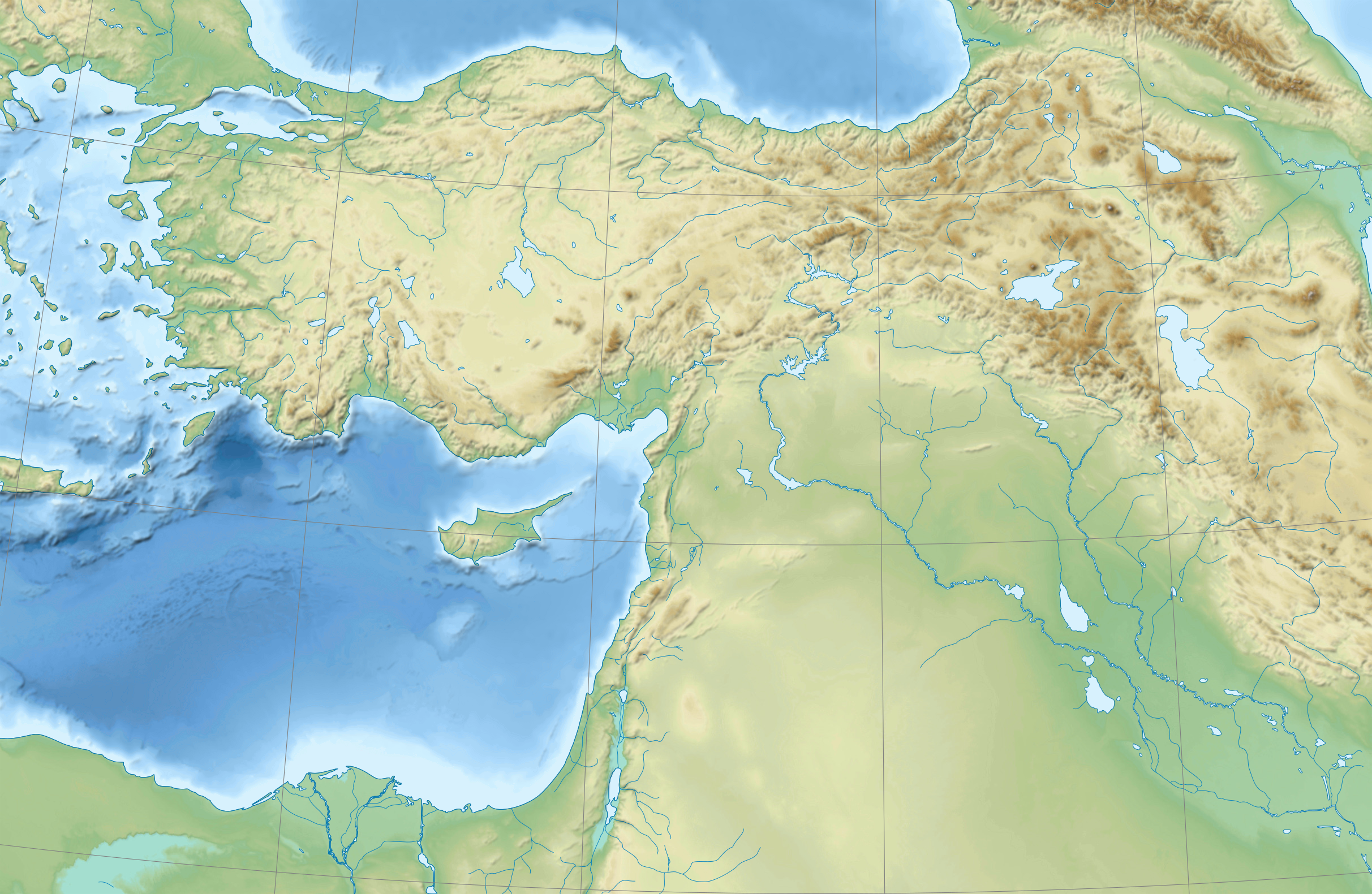
Fasciculus:Near East topographic map-blank.svg

Size of this PNG preview of this SVG file: 800 × 522 elementa imaginalia. Aliae mensurae: 320 × 209 elementa imaginalia | 640 × 417 elementa imaginalia | 1 024 × 668 elementa imaginalia | 1 280 × 835 elementa imaginalia | 2 560 × 1 669 elementa imaginalia | 2 425 × 1 581 elementa imaginalia.
Sua resolutio (fasciculus SVG, nominale 2 425 × 1 581 elementa imaginalia, magnitudo fasciculi: 2.33 megaocteti)
Summarium
| Camera location | | View this and other nearby images on: OpenStreetMap |
|---|
Potestas usoris
I, the copyright holder of this work, hereby publish it under the following licenses:
| Copyleft: This work of art is free; you can redistribute it and/or modify it according to terms of the Free Art License. You will find a specimen of this license on the Copyleft Attitude site as well as on other sites. |
This file is licensed under the Creative Commons Attribution-Share Alike 4.0 International, 3.0 Unported, 2.5 Generic, 2.0 Generic and 1.0 Generic license.
- Tibi licet:
- communicare – copiare, distribuere et committere hoc opus
- to remix – to adapt the work
- His condicionibus:
- attributio – You must give appropriate credit, provide a link to the license, and indicate if changes were made. You may do so in any reasonable manner, but not in any way that suggests the licensor endorses you or your use.
- aequa parte – If you remix, transform, or build upon the material, you must distribute your contributions under the same or compatible license as the original.
Tibi typum permissionis ligere licet.
Historia fasciculi
Presso die vel tempore fasciculum videbis, sicut tunc temporis apparuit.
| Dies/Tempus | Minutio | Dimensiones | Usor | Sententia | |
|---|---|---|---|---|---|
| recentissima | 18:31, 18 Augusti 2009 | | 2 425 × 1 581 (2.33 megaocteti) | Sémhur | 3 - New try |
| 15:39, 17 Augusti 2009 |  | 2 425 × 1 581 (1.73 megaocteti) | Sémhur | 2 - With the background... | |
| 15:37, 17 Augusti 2009 |  | 2 425 × 1 581 (3 chiliocteti) | Sémhur | {{Information |Description={{en|1=Blank physical map of the Near East}} {{fr|1=Carte physique vierge du Proche-Orient.}} |Source={{own}} |Author=Sémhur |Date=2008-08-17 |Permission= |other_versions |
Nexus ad fasciculum
Ad hunc fasciculum nectit:
Usus fasciculi per inceptus Vicimediorum
Quae incepta Vici fasciculo utuntur:
- Usus in ar.wikipedia.org
- Usus in arz.wikipedia.org
- Usus in azb.wikipedia.org
- Usus in bn.wikipedia.org
- Usus in de.wikipedia.org
- Usus in en.wikipedia.org
- Near East
- Retjenu
- Ottoman Army (1861–1922)
- Module:Location map/data/Ottoman Empire1914
- User:Zoeperkoe/sandbox
- Module:Location map/data/Ottoman Empire1914/doc
- User:Falcaorib
- User:Kentronhayastan/Origin of the Armenians
- Causes of the Armenian genocide
- User:Maka'alaKaono/sandbox
- User:Maka'alaKaono/Retjenu
- Usus in fr.wikipedia.org
- Usus in ku.wikipedia.org
- Usus in pt.wikipedia.org
- Usus in ru.wikipedia.org
- Usus in sd.wikipedia.org
- Usus in si.wikipedia.org
- Usus in th.wikipedia.org
- Usus in war.wikipedia.org
- Usus in zh.wikipedia.org