
Fasciculus:Kingdom of Croatia.png
Mensura huius perspectionis: 586 × 599 elementa imaginalia. Aliae mensurae: 235 × 240 elementa imaginalia | 470 × 480 elementa imaginalia | 751 × 768 elementa imaginalia | 1 218 × 1 245 elementa imaginalia.
Sua resolutio (1 218 × 1 245 elementa imaginalia, magnitudo fasciculi: 152 chiliocteti, typus MIME: image/png)
Summarium
| Descriptio |
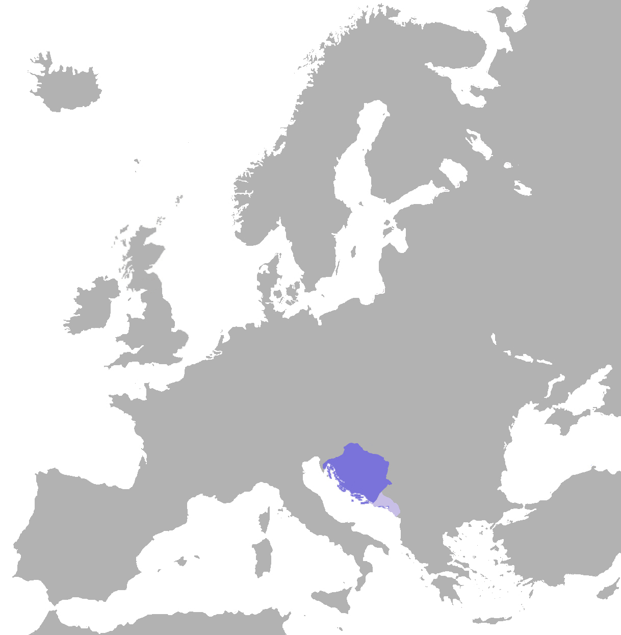
English: English: position of the croatian kingdom in europe (map) |
| Datum | (UTC) |
| Fons | |
| Auctor | Er-vet-en (talk) |
Potestas usoris
| I, the copyright holder of this work, release this work into the public domain. This applies worldwide. In some countries this may not be legally possible; if so: I grant anyone the right to use this work for any purpose, without any conditions, unless such conditions are required by law. |
Original upload log
The original description page was here. All following user names refer to en.wikipedia.
| Upload date | User | Bytes | Dimensions | Comment |
|---|---|---|---|---|
| 2009-11-20 17:58:04 | Er-vet-en | 57804 | 1218×1245 | {{Information |Description = English: position of the croatian kingdom in europe (map) |Source = Made by (~~~); |Date = ~~~~~ |Author = ~~~ |other_versions = }} |
Potestas usoris
This file is licensed under the Creative Commons Attribution-Share Alike 3.0 Unported license.
- Tibi licet:
- communicare – copiare, distribuere et committere hoc opus
- to remix – to adapt the work
- His condicionibus:
- attributio – You must give appropriate credit, provide a link to the license, and indicate if changes were made. You may do so in any reasonable manner, but not in any way that suggests the licensor endorses you or your use.
- aequa parte – If you remix, transform, or build upon the material, you must distribute your contributions under the same or compatible license as the original.
Original upload log
The original description page was here. All following user names refer to en.wikipedia.
- 2011-07-17 12:16 Er-vet-en 1218×1245× (161088 bytes)
- 2011-07-17 12:15 Er-vet-en 1218×1245× (161088 bytes)
- 2009-11-20 17:58 Er-vet-en 1218×1245× (57804 bytes) {{Information |Description = English: position of the croatian kingdom in europe (map) |Source = Made by (~~~); |Date = ~~~~~ |Author = ~~~ |other_versions = }}
Historia fasciculi
Presso die vel tempore fasciculum videbis, sicut tunc temporis apparuit.
| Dies/Tempus | Minutio | Dimensiones | Usor | Sententia | |
|---|---|---|---|---|---|
| recentissima | 12:49, 4 Novembris 2019 | | 1 218 × 1 245 (152 chiliocteti) | Ceha | Corrected border in Istria, Dubrovnik and Kotor, and added vasal territoiries, Zahumlje, Travunja and Duklja |
| 18:54, 7 Septembris 2012 |  | 1 218 × 1 245 (157 chiliocteti) | OgreBot | (BOT): Uploading old version of file from en.wikipedia; originally uploaded on 2011-07-17 12:15:38 by Er-vet-en | |
| 18:54, 7 Septembris 2012 |  | 1 218 × 1 245 (56 chiliocteti) | OgreBot | (BOT): Uploading old version of file from en.wikipedia; originally uploaded on 2009-11-20 17:58:04 by Er-vet-en | |
| 18:59, 16 Februarii 2010 |  | 586 × 599 (72 chiliocteti) | Litany~commonswiki | {{BotMoveToCommons|en.wikipedia|year={{subst:CURRENTYEAR}}|month={{subst:CURRENTMONTHNAME}}|day={{subst:CURRENTDAY}}}} == Summary == {{Information |Description = {{en|English: position of the croatian kingdom in europe (map)}} |Source = {{en |Made by ([[ |
Nexus ad fasciculum
Ad hunc fasciculum nectit:
Usus fasciculi per inceptus Vicimediorum
Quae incepta Vici fasciculo utuntur:
- Usus in ar.wikipedia.org
- Usus in azb.wikipedia.org
- Usus in az.wikipedia.org
- Usus in be.wikipedia.org
- Usus in bg.wikipedia.org
- Usus in ca.wikipedia.org
- Usus in cs.wikipedia.org
- Usus in en.wikipedia.org
- Usus in es.wikipedia.org
- Usus in et.wikipedia.org
- Usus in fa.wikipedia.org
- Usus in fr.wikipedia.org
- Usus in gl.wikipedia.org
- Usus in he.wikipedia.org
- Usus in hr.wikipedia.org
- Usus in it.wikipedia.org
- Usus in ja.wikipedia.org
- Usus in ko.wikipedia.org
- Usus in lt.wikipedia.org
- Usus in mk.wikipedia.org
- Usus in nl.wikipedia.org
- Usus in pl.wikipedia.org
- Usus in pt.wikipedia.org
- Usus in ru.wikipedia.org
- Usus in sh.wikipedia.org
- Usus in simple.wikipedia.org
- Usus in sk.wikipedia.org
- Usus in sl.wikipedia.org
- Usus in sv.wikipedia.org
- Usus in tr.wikipedia.org
- Usus in uk.wikipedia.org
- Usus in ur.wikipedia.org
- Usus in www.wikidata.org
- Usus in zh.wikipedia.org