
Fasciculus:Indre departement locator map.jpg

Mensura huius perspectionis: 624 × 600 elementa imaginalia. Aliae mensurae: 250 × 240 elementa imaginalia | 500 × 480 elementa imaginalia | 922 × 886 elementa imaginalia.
Sua resolutio (922 × 886 elementa imaginalia, magnitudo fasciculi: 111 chiliocteti, typus MIME: image/jpeg)
Summarium
| Descriptio |
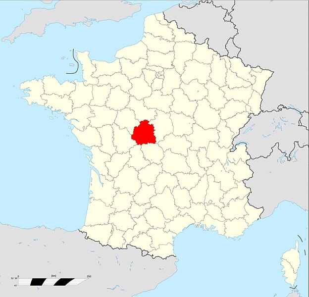
Français : Carte administrative représentant le département de l'Indre sur une carte de France métropolitaine. |
| Datum | |
| Fons | File:France location map-Departements.svg |
| Auctor | Original map : Sting, modifications by Floppy36 |
| Permissio (Reusing this file) |
Attribution and Share-Alike required |
Potestas usoris
I, the copyright holder of this work, hereby publish it under the following license:
This file is licensed under the Creative Commons Attribution-Share Alike 3.0 Unported license.
- Tibi licet:
- communicare – copiare, distribuere et committere hoc opus
- to remix – to adapt the work
- His condicionibus:
- attributio – You must give appropriate credit, provide a link to the license, and indicate if changes were made. You may do so in any reasonable manner, but not in any way that suggests the licensor endorses you or your use.
- aequa parte – If you remix, transform, or build upon the material, you must distribute your contributions under the same or compatible license as the original.
Historia fasciculi
Presso die vel tempore fasciculum videbis, sicut tunc temporis apparuit.
| Dies/Tempus | Minutio | Dimensiones | Usor | Sententia | |
|---|---|---|---|---|---|
| recentissima | 09:32, 6 Octobris 2012 | | 922 × 886 (111 chiliocteti) | Floppy36 | User created page with UploadWizard |
Nexus ad fasciculum
Ad hunc fasciculum nectit:
Usus fasciculi per inceptus Vicimediorum
Quae incepta Vici fasciculo utuntur:
- Usus in af.wikipedia.org
- Usus in ar.wikipedia.org
- Usus in be-tarask.wikipedia.org
- Usus in ca.wikipedia.org
- Usus in ceb.wikipedia.org
- Usus in ce.wikipedia.org
- Usus in eo.wikipedia.org
- Usus in fr.wikipedia.org
- Liste des cantons de l'Indre
- Liste des sénateurs de l'Indre
- Liste des députés de l'Indre
- Liste des conseillers départementaux de l'Indre
- Climat de l'Indre
- Liste des préfets de l'Indre
- Liste de ponts de l'Indre
- Réseau routier de l'Indre
- Économie de l'Indre
- Conseil départemental de l'Indre
- Histoire de l'Indre
- Liste des gares de l'Indre
- Liste des circonscriptions législatives de l'Indre
- Liste des édifices religieux de l'Indre
- Usus in fr.wikinews.org
- Usus in gd.wikipedia.org
- Usus in gl.wikipedia.org
- Usus in ia.wikipedia.org
- Usus in lld.wikipedia.org
- Usus in oc.wikipedia.org
- Usus in pl.wikivoyage.org
- Usus in sr.wikipedia.org
- Usus in ur.wikipedia.org
- Usus in www.wikidata.org
- Usus in zh-min-nan.wikipedia.org