
Fasciculus:Greater London UK location map 2.svg

Size of this PNG preview of this SVG file: 750 × 600 elementa imaginalia. Aliae mensurae: 300 × 240 elementa imaginalia | 600 × 480 elementa imaginalia | 960 × 768 elementa imaginalia | 1 280 × 1 024 elementa imaginalia | 2 560 × 2 048 elementa imaginalia | 1 425 × 1 140 elementa imaginalia.
Sua resolutio (fasciculus SVG, nominale 1 425 × 1 140 elementa imaginalia, magnitudo fasciculi: 2.18 megaocteti)
| Descriptio |
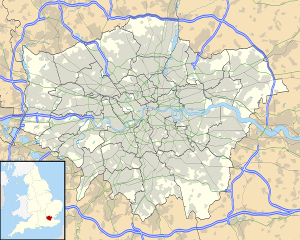
Map of Greater London, UK with the following information shown:
The data includes both primary routes and railway lines. Equirectangular map projection on WGS 84 datum, with N/S stretched 160% Geographic limits:
|
| Datum | |
| Fons |
|
| Auctor | Nilfanion, created using Ordnance Survey data |
| Permissio (Reusing this file) |
This file is licensed under the Creative Commons Attribution-Share Alike 3.0 Unported license. Attributio: Contains Ordnance Survey data © Crown copyright and database right
|
| Other versions | File:Greater London UK district map (blank).svg - Blank map, File:Greater London UK location map.svg - excluding primary routes and railways |
.svg)
Historia fasciculi
Presso die vel tempore fasciculum videbis, sicut tunc temporis apparuit.
| Dies/Tempus | Minutio | Dimensiones | Usor | Sententia | |
|---|---|---|---|---|---|
| recentissima | 17:43, 5 Octobris 2010 | | 1 425 × 1 140 (2.18 megaocteti) | Nilfanion | {{Information |Description=Map of Greater London, UK with the following information shown: *Administrative borders *Coastline, lakes and rivers *Roads and railways *Urban areas The data includes both primary routes and railway lines. |
Nexus ad fasciculum
Ad hunc fasciculum nectunt:
- Battersea
- Bermendi Insula
- Brixton
- Camerwella
- Cheam
- Croydonia
- Dulwich
- Kew
- Kingstonium ad Tamesim
- Lambethum
- Merton (Surria)
- Mitcham
- Nauticus Sinus
- Putney
- Richmondia (ad Tamesim)
- Southwark
- Surbiton
- Suttona (Londinium)
- Wandsworth
- Formula:Charta locatrix Londinii maioris
- Formula:Charta locatrix Londinii maioris physicalis
Usus fasciculi per inceptus Vicimediorum
Quae incepta Vici fasciculo utuntur:
- Usus in af.wikipedia.org
- Londense Tower
- Westminster-abdy
- Twickenham
- Greenwich (Londen)
- Penge (Londen)
- Paleis van Westminster
- Canary Wharf
- St John's Wood
- Marylebone
- Stratford, Londen
- Queen Elizabeth Olympic Park
- Sjabloon:Liggingkaart Groter Londen
- Leyton
- Charing Cross
- Lughawe Londen-Heathrow
- Strand, Londen
- Muswell Hill
- London City-lughawe
- Dulwich Village
- Hampstead
- Silvertown
- Shoreditch
- Islington
- Clerkenwell
- Holland Park
- Soho
- Chelsea, Londen
- Southwark
- Hackney Central
- Notting Hill
- Paddington
- Crouch End
- Highgate
- Primrose Hill
- Bloomsbury
- Camden Town
- Spitalfields
- Vauxhall
- Holborn
- Kensington
- Battersea
- Belgravia
- Limehouse
- Bishopsgate
- Usus in ar.wikipedia.org
View more global usage of this file.