
Fasciculus:France South West relief location map.jpg
Mensura huius perspectionis: 615 × 600 elementa imaginalia. Aliae mensurae: 246 × 240 elementa imaginalia | 492 × 480 elementa imaginalia | 860 × 839 elementa imaginalia.
Sua resolutio (860 × 839 elementa imaginalia, magnitudo fasciculi: 294 chiliocteti, typus MIME: image/jpeg)
Summarium
| Descriptio |
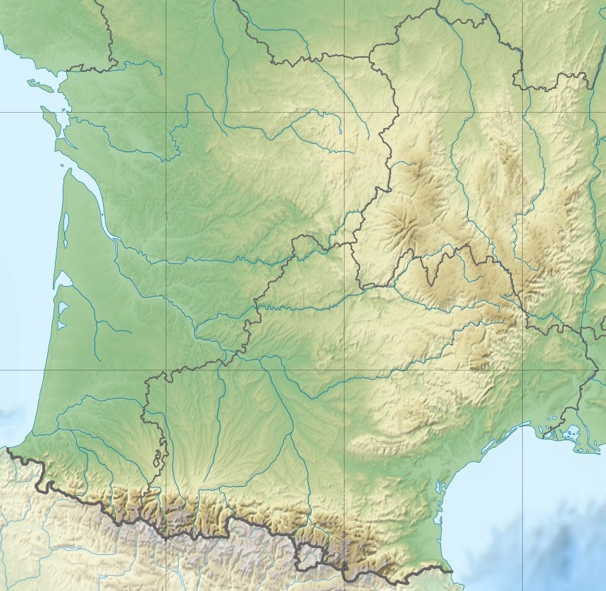
English: Blank physical map of South Western France for geo-location purpose.
Scale : 1:14 816 000 (accuracy : about 3,7 km) for the bathymetry Français : Carte physique vierge du Sud-Ouest de la France destinée à la géolocalisation.
Échelle : 1:14 816 000 (précision : environ 3,7 km) pour la bathymétrie Projection équirectangualaire, données WGS84
Limites géographiques de la carte :
|
||
| Datum | |||
| Fons |
Opus proprium, using this file by Eric Gaba (Sting - fr:Sting)
|
||
| Auctor | Eric Gaba (Sting - fr:Sting) / crop to South Western France by Chumwa | ||
| Permissio (Reusing this file) |
|
||
| Other versions |
Derivative works of this file:
|


| Object location | | View this and other nearby images on: OpenStreetMap |
|---|

|
This map has been made or improved in the German Kartenwerkstatt (Map Lab). You can propose maps to improve as well.
|
Potestas usoris
I, the copyright holder of this work, hereby publish it under the following licenses:

|
Licet hoc documentum exscribere vel distribuere vel demutare sub GNU Liberarum Litterarum Licentiae conditionibus in editione 1.2 aut in ulla editione recentiori a Fundatione Liberarum Programmationis Partium publicata; praeterquam Sectiones Immutabiles et Verba Involucra Adversa et Aversa. Licentiae exemplar praesto est in sectione intitulata GNU Free Documentation License. |
This file is licensed under the Creative Commons Attribution-Share Alike 4.0 International, 3.0 Unported, 2.5 Generic, 2.0 Generic and 1.0 Generic license.
- Tibi licet:
- communicare – copiare, distribuere et committere hoc opus
- to remix – to adapt the work
- His condicionibus:
- attributio – You must give appropriate credit, provide a link to the license, and indicate if changes were made. You may do so in any reasonable manner, but not in any way that suggests the licensor endorses you or your use.
- aequa parte – If you remix, transform, or build upon the material, you must distribute your contributions under the same or compatible license as the original.
Tibi typum permissionis ligere licet.
Historia fasciculi
Presso die vel tempore fasciculum videbis, sicut tunc temporis apparuit.
| Dies/Tempus | Minutio | Dimensiones | Usor | Sententia | |
|---|---|---|---|---|---|
| recentissima | 09:36, 3 Ianuarii 2016 | | 860 × 839 (294 chiliocteti) | Jack ma | updated administrative boundaries (new 1/1/2016) |
| 19:37, 1 Iunii 2015 |  | 860 × 839 (471 chiliocteti) | Chumwa | == {{int:filedesc}} == {{Information |Description={{en|Blank physical map of South Western France for geo-location purpose.<br/>Scale : 1:14 816 000 (accuracy : about 3,7 km) for the bathymetry}} {{fr|Carte physique vierge du Sud-Ouest d... |
Nexus ad fasciculum
Ad hunc fasciculum nectunt:
Usus fasciculi per inceptus Vicimediorum
Quae incepta Vici fasciculo utuntur:
- Usus in de.wikipedia.org
- Usus in fr.wikipedia.org
- Usus in ja.wikipedia.org