
Fasciculus:Canada Ontario relief location map.jpg

Mensura huius perspectionis: 526 × 599 elementa imaginalia. Aliae mensurae: 211 × 240 elementa imaginalia | 421 × 480 elementa imaginalia | 674 × 768 elementa imaginalia | 899 × 1 024 elementa imaginalia | 2 100 × 2 392 elementa imaginalia.
Sua resolutio (2 100 × 2 392 elementa imaginalia, magnitudo fasciculi: 2.75 megaocteti, typus MIME: image/jpeg)
| Descriptio |
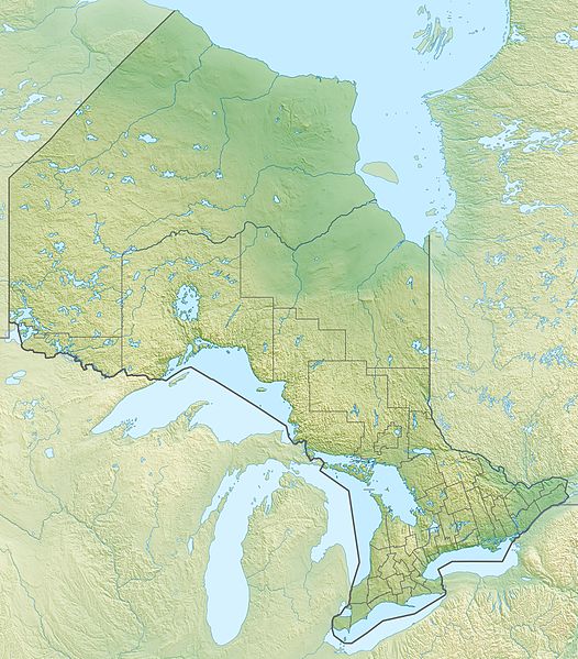
Quadratische Plattkarte, N-S-Streckung 155 %. Geographische Begrenzung der Karte:
Equirectangular projection, N/S stretching 155 %. Geographic limits of the map:
|
| Datum | |
| Fons |
Opus proprium, using
|
| Auctor | Carport |
| Permissio (Reusing this file) |
This file is licensed under the Creative Commons Attribution-Share Alike 3.0 Unported license.
|
| Other versions |
|


Historia fasciculi
Presso die vel tempore fasciculum videbis, sicut tunc temporis apparuit.
| Dies/Tempus | Minutio | Dimensiones | Usor | Sententia | |
|---|---|---|---|---|---|
| recentissima | 19:04, 30 Novembris 2012 | | 2 100 × 2 392 (2.75 megaocteti) | Carport | {{Information |Description= {{de|Physische Positionskarte von Ontario, Kanada}} Quadratische Plattkarte, N-S-Streckung 155 %. Geographische Begrenzung der Karte: * N: 57.1° N * S: 41.3° N * W: 95.5° W * O: 74.0° W {{e... |
Nexus ad fasciculum
Ad hunc fasciculum nectit:
Usus fasciculi per inceptus Vicimediorum
Quae incepta Vici fasciculo utuntur:
- Usus in ar.wikipedia.org
- Usus in ast.wikipedia.org
- Usus in az.wikipedia.org
- Usus in ban.wikipedia.org
- Usus in be-tarask.wikipedia.org
- Usus in be.wikipedia.org
- Usus in bg.wikipedia.org
- Отава
- Торонто
- Капъскейсинг
- Мисисага
- Гуелф
- Хамилтън (Онтарио)
- Бари (Канада)
- Кингстън (Канада)
- Брамптън
- Маркъм
- Вон (Канада)
- Шаблон:ПК Канада Онтарио
- Тъндърбей
- Лондон (Онтарио)
- Брантфорд
- Сарния (Онтарио)
- Уиндзър (Онтарио)
- Северен Хюрън
- Оуквил
- Френч Ривър
- Джорджиан Бей
- Ренфру (Канада)
- Университет на Торонто
- Манитулин
- Джеймс (залив)
- Барис Бей
- Usus in bn.wikipedia.org
- Usus in ce.wikipedia.org
- Usus in de.wikipedia.org
View more global usage of this file.