
Fasciculus:Azerbaijan relief location map.jpg
Mensura huius perspectionis: 783 × 600 elementa imaginalia. Aliae mensurae: 314 × 240 elementa imaginalia | 627 × 480 elementa imaginalia | 1 003 × 768 elementa imaginalia | 1 200 × 919 elementa imaginalia.
Sua resolutio (1 200 × 919 elementa imaginalia, magnitudo fasciculi: 698 chiliocteti, typus MIME: image/jpeg)
Summarium
| Descriptio |
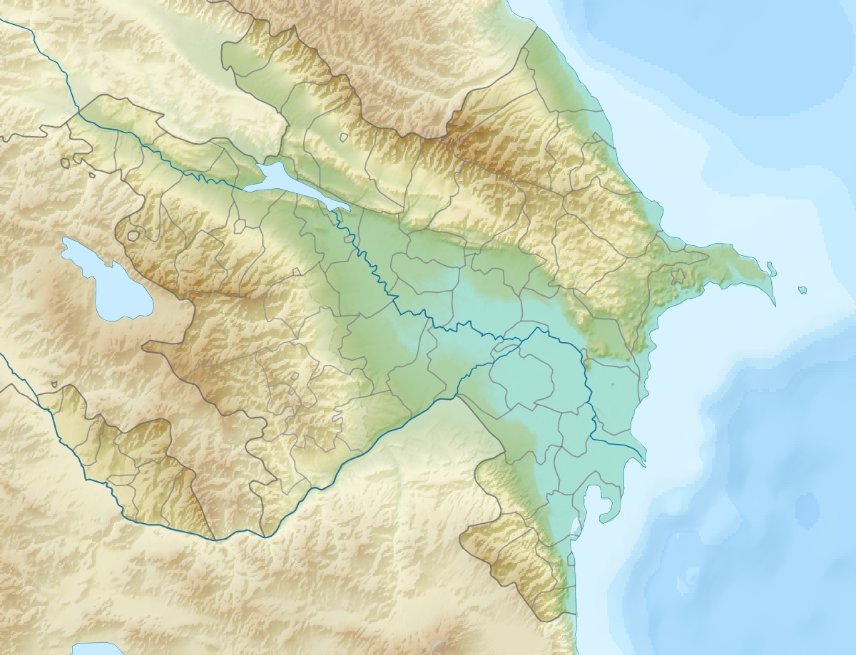
English: Location map of Azerbaijan.
Equirectangular projection. Strechted by 131.0%. Geographic limits of the map: * N: 42.0° N * S: 38.2° N * W: 44.5° E * E: 51.0° EMade with Natural Earth. Free vector and raster map data @ naturalearthdata.com. |
| Datum | |
| Fons | Opus proprium |
| Auctor | Uwe Dedering |
| Other versions |
|


Potestas usoris
I, the copyright holder of this work, hereby publish it under the following licenses:
This file is licensed under the Creative Commons Attribution-Share Alike 3.0 Unported license.
- Tibi licet:
- communicare – copiare, distribuere et committere hoc opus
- to remix – to adapt the work
- His condicionibus:
- attributio – You must give appropriate credit, provide a link to the license, and indicate if changes were made. You may do so in any reasonable manner, but not in any way that suggests the licensor endorses you or your use.
- aequa parte – If you remix, transform, or build upon the material, you must distribute your contributions under the same or compatible license as the original.

|
Licet hoc documentum exscribere vel distribuere vel demutare sub GNU Liberarum Litterarum Licentiae conditionibus in editione 1.2 aut in ulla editione recentiori a Fundatione Liberarum Programmationis Partium publicata; praeterquam Sectiones Immutabiles et Verba Involucra Adversa et Aversa. Licentiae exemplar praesto est in sectione intitulata GNU Free Documentation License. |
Tibi typum permissionis ligere licet.
Historia fasciculi
Presso die vel tempore fasciculum videbis, sicut tunc temporis apparuit.
| Dies/Tempus | Minutio | Dimensiones | Usor | Sententia | |
|---|---|---|---|---|---|
| recentissima | 19:12, 9 Iunii 2010 | | 1 200 × 919 (698 chiliocteti) | Uwe Dedering | one more (ex-?)exklave |
| 18:48, 9 Iunii 2010 |  | 1 200 × 919 (698 chiliocteti) | Uwe Dedering | {{Information |Description={{en|1=Location map of Azerbaijan. Equirectangular projection. Strechted by 131.0%. Geographic limits of the map: * N: 42.0° N * S: 38.2° N * W: 44.5° E * E: 51.0° E Made with Natural Earth. Free vector and raster map |
Nexus ad fasciculum
Ad hunc fasciculum nectit:
Usus fasciculi per inceptus Vicimediorum
Quae incepta Vici fasciculo utuntur:
- Usus in ab.wikipedia.org
- Usus in ar.wikipedia.org
- Usus in ast.wikipedia.org
- Usus in av.wikipedia.org
- Usus in azb.wikipedia.org
- Usus in az.wikipedia.org
- Çigil
- Kiçik Zirə
- Daş Zirə
- Zənbil
- Azərbaycan coğrafiyası
- Daşlı ada
- Səngi Muğan
- Gil adası
- Xərə Zirə
- Çilov adası
- Pirallahı adası
- Adsız adası
- Tava adası
- Karvansaray adası
- Qutan adası
- Xanlar adası
- Qu adası
- Kür dili adası
- Qoltuq körfəzi
- Azərbaycan relyefi
- Kiçik Tava
- Böyük Tava
- Tavaaltı
- Yal adası
- Qarabatdaq adası
- Çurki adası
- Orta daş adası
- Daxili daş adası
- Yaşma adası
- Usus in be-tarask.wikipedia.org
- Usus in be.wikipedia.org
- Usus in bn.wikipedia.org
View more global usage of this file.