
Fasciculus:La2-demis-hawaii.png
Mensura huius perspectionis: 748 × 599 elementa imaginalia. Aliae mensurae: 300 × 240 elementa imaginalia | 599 × 480 elementa imaginalia | 790 × 633 elementa imaginalia.
Sua resolutio (790 × 633 elementa imaginalia, magnitudo fasciculi: 103 chiliocteti, typus MIME: image/png)
| Descriptio |
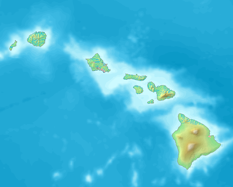
English: Map of Hawaii.
Bounding box West -160.5°, South 18.5°, East -154.5°, North 23°. Center at 20°45′00″N 157°30′00″W / 20.75000°N 157.50000°W. |
| Datum | |
| Fons | Demis map server |
| Auctor | Demis map server |
This image is in the public domain because it came from the site https://www.demis.nl/products/web-map-server/examples/ and was released by the copyright holder. Permission is granted to copy, distribute and/or modify this map since it is based on free of copyright images from: www.demis.nl. See also approval email on de.wp and its clarification.
|
| This work has been released into the public domain by its copyright holder, www.demis.nl. This applies worldwide. In some countries this may not be legally possible; if so: www.demis.nl grants anyone the right to use this work for any purpose, without any conditions, unless such conditions are required by law.
|
Historia fasciculi
Presso die vel tempore fasciculum videbis, sicut tunc temporis apparuit.
| Dies/Tempus | Minutio | Dimensiones | Usor | Sententia | |
|---|---|---|---|---|---|
| recentissima | 08:59, 6 Octobris 2016 | | 790 × 633 (103 chiliocteti) | Offnfopt | removed watermark |
| 13:32, 2 Septembris 2005 |  | 790 × 633 (93 chiliocteti) | LA2 | Map of Hawaii. Bounding box West -160.5°, South 18.5°, East -154.5°, North 23°. {{demis-pd}} category:maps of Hawaii |
Nexus ad fasciculum
Ad hunc fasciculum nectit: