
Fasciculus:Map-WR-Oldenburg.svg

Sua resolutio (fasciculus SVG, nominale 1 185 × 1 007 elementa imaginalia, magnitudo fasciculi: 541 chiliocteti)
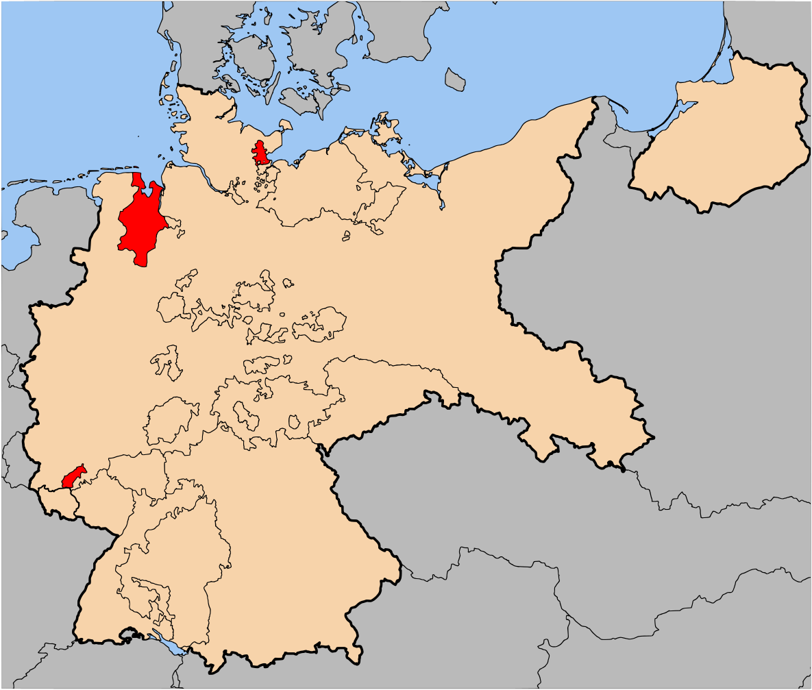
| Descriptio | The Free State of Oldenburg (Freistaat Oldenburg) within Germany at the time of the Weimar Republic | |||||||||||
| Datum | ||||||||||||
| Fons | Based on map data of the IEG-Maps project (Andreas Kunz, B. Johnen and Joachim Robert Moeschl: University of Mainz) - http://www.ieg-maps.uni-mainz.de | |||||||||||
| Auctor | User:52 Pickup | |||||||||||
| Permissio (Reusing this file) |
This file is licensed under the Creative Commons Attribution-Share Alike 2.5 Generic license.
|

Historia fasciculi
Presso die vel tempore fasciculum videbis, sicut tunc temporis apparuit.
| Dies/Tempus | Minutio | Dimensiones | Usor | Sententia | |
|---|---|---|---|---|---|
| recentissima | 17:09, 30 Iunii 2007 | | 1 185 × 1 007 (541 chiliocteti) | 52 Pickup | {{Information| |Description= The Free State of Oldenburg (Freistaat Oldenburg) within Germany at the time of the Weimar Republic |Source= Based on map data of the IEG-Maps |
Nexus ad fasciculum
Nullae paginae hoc fasciculo utuntur.