
Fasciculus:Carte du Québec au sein du Canada.svg

Size of this PNG preview of this SVG file: 707 × 600 elementa imaginalia. Aliae mensurae: 283 × 240 elementa imaginalia | 566 × 480 elementa imaginalia | 905 × 768 elementa imaginalia | 1 207 × 1 024 elementa imaginalia | 2 414 × 2 048 elementa imaginalia | 1 083 × 919 elementa imaginalia.
Sua resolutio (fasciculus SVG, nominale 1 083 × 919 elementa imaginalia, magnitudo fasciculi: 80 chiliocteti)
Summarium
| Descriptio | |
| Datum | (UTC) |
| Fons |
Opus proprium. Source :
|
| Auctor | Sémhur (talk) |
| Other versions |
Derivative works of this file: |
| SVG genesis | |
| Attributio (required by the license) | © Sémhur / Wikimedia Commons / |
.svg)
| Camera location | | View this and other nearby images on: OpenStreetMap |
|---|
Potestas usoris
I, the copyright holder of this work, hereby publish it under the following licenses:
| Copyleft: This work of art is free; you can redistribute it and/or modify it according to terms of the Free Art License. You will find a specimen of this license on the Copyleft Attitude site as well as on other sites. |
This file is licensed under the Creative Commons Attribution-Share Alike 4.0 International, 3.0 Unported, 2.5 Generic, 2.0 Generic and 1.0 Generic license.
- Tibi licet:
- communicare – copiare, distribuere et committere hoc opus
- to remix – to adapt the work
- His condicionibus:
- attributio – You must give appropriate credit, provide a link to the license, and indicate if changes were made. You may do so in any reasonable manner, but not in any way that suggests the licensor endorses you or your use.
- aequa parte – If you remix, transform, or build upon the material, you must distribute your contributions under the same or compatible license as the original.
Tibi typum permissionis ligere licet.
Historia fasciculi
Presso die vel tempore fasciculum videbis, sicut tunc temporis apparuit.
| Dies/Tempus | Minutio | Dimensiones | Usor | Sententia | |
|---|---|---|---|---|---|
| recentissima | 17:09, 7 Decembris 2014 | | 1 083 × 919 (80 chiliocteti) | Sémhur | Valid SVG |
| 14:56, 8 Decembris 2011 |  | 1 083 × 919 (80 chiliocteti) | Riba | Minor corrections of colors. | |
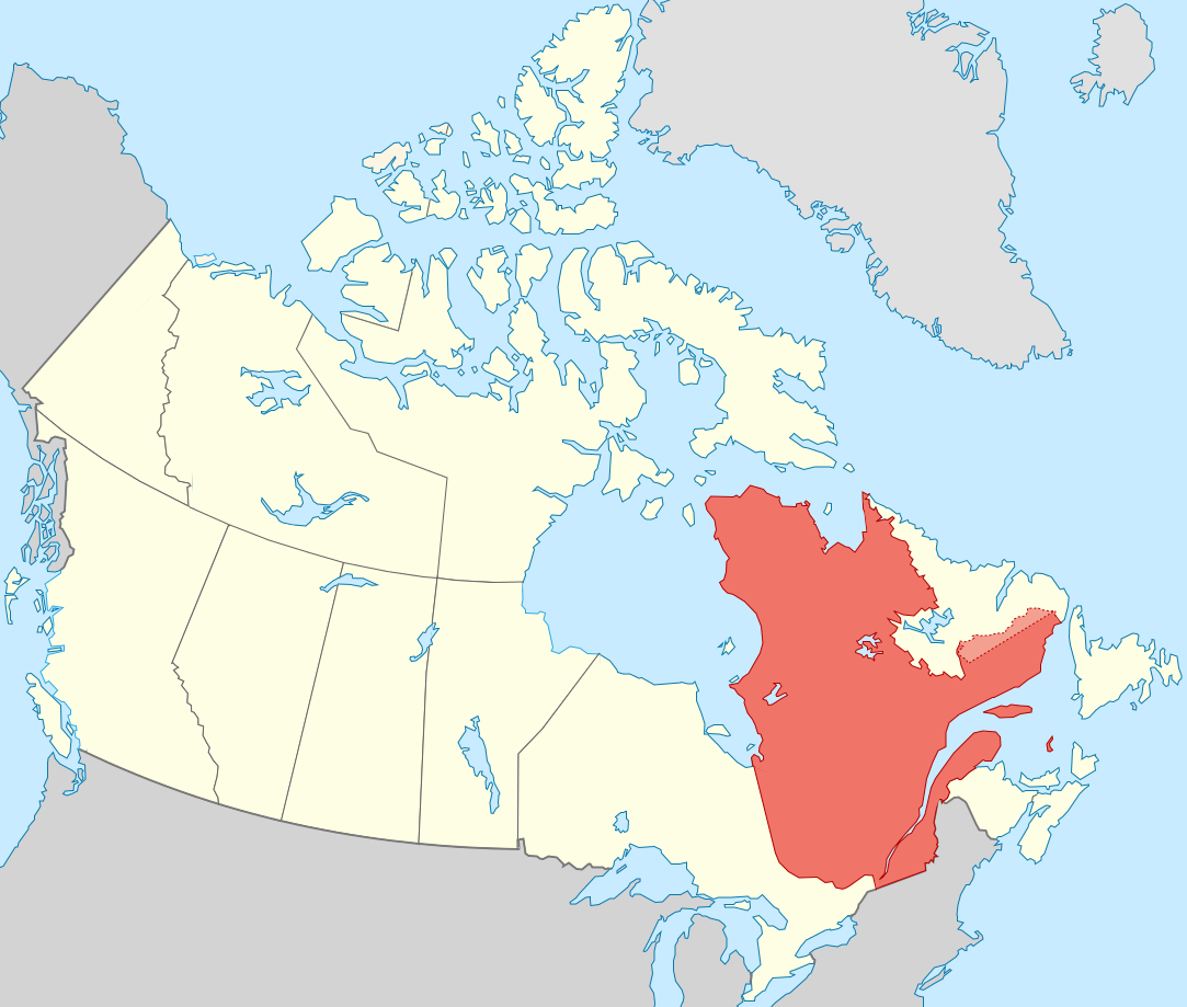
| 19:51, 27 Septembris 2011 |  | 1 083 × 919 (75 chiliocteti) | Sémhur | == {{int:filedesc}} == {{Information |Description={{Multilingual description |en= Blank map showing en:Québec in Canada, in red, with the disputed area between Quebec and Labrador, in pink. |fr= Carte montrant le fr:Québec au sein du Canada, |
Nexus ad fasciculum
Nullae paginae hoc fasciculo utuntur.
Usus fasciculi per inceptus Vicimediorum
Quae incepta Vici fasciculo utuntur:
- Usus in af.wikipedia.org
- Usus in ang.wikipedia.org
- Usus in arc.wikipedia.org
- Usus in bat-smg.wikipedia.org
- Usus in br.wikipedia.org
- Usus in co.wikipedia.org
- Usus in cr.wikipedia.org
- Usus in el.wikipedia.org
- Usus in el.wikivoyage.org
- Usus in eo.wikipedia.org
- Usus in eo.wikinews.org
- Usus in es.wikipedia.org
- Usus in et.wikipedia.org
- Usus in fiu-vro.wikipedia.org
- Usus in fo.wikipedia.org
- Usus in fr.wikipedia.org
- Usus in gag.wikipedia.org
- Usus in gl.wikipedia.org
- Usus in gv.wikipedia.org
- Usus in hak.wikipedia.org
- Usus in ha.wikipedia.org
- Usus in hy.wikipedia.org
- Usus in incubator.wikimedia.org
- Usus in it.wikivoyage.org
- Usus in ja.wikipedia.org
- Usus in ka.wikipedia.org
- Usus in kw.wikipedia.org
- Usus in lb.wikipedia.org
- Usus in lv.wikipedia.org
- Usus in mi.wikipedia.org
- Usus in nds-nl.wikipedia.org
- Usus in no.wikipedia.org
- Usus in nrm.wikipedia.org
- Usus in pap.wikipedia.org
- Usus in pa.wikipedia.org
- Usus in pcd.wikipedia.org
- Usus in pl.wikipedia.org
- Usus in pt.wikipedia.org
- Usus in qu.wikipedia.org
- Usus in ro.wikipedia.org
- Usus in ru.wiktionary.org
- Usus in sco.wikipedia.org
- Usus in sl.wikipedia.org
View more global usage of this file.