
Fasciculus:1879 Stanford Pocket Map of the Isle of Wight, England - Geographicus - IsleofWight-stanford-1879.jpg
Sua resolutio (6 000 × 4 441 elementa imaginalia, magnitudo fasciculi: 6.89 megaocteti, typus MIME: image/jpeg)
| Stanford's Tourist's Map of the Isle of Wight with popular references to Fossili Ferous Localities, Antiquities, Landing Places for Boats, &c. and an Appendix showing the Island, Southampton Water, and the Adjacent Country. | ||||||
|---|---|---|---|---|---|---|
| Artifex | ||||||
| Titulus |
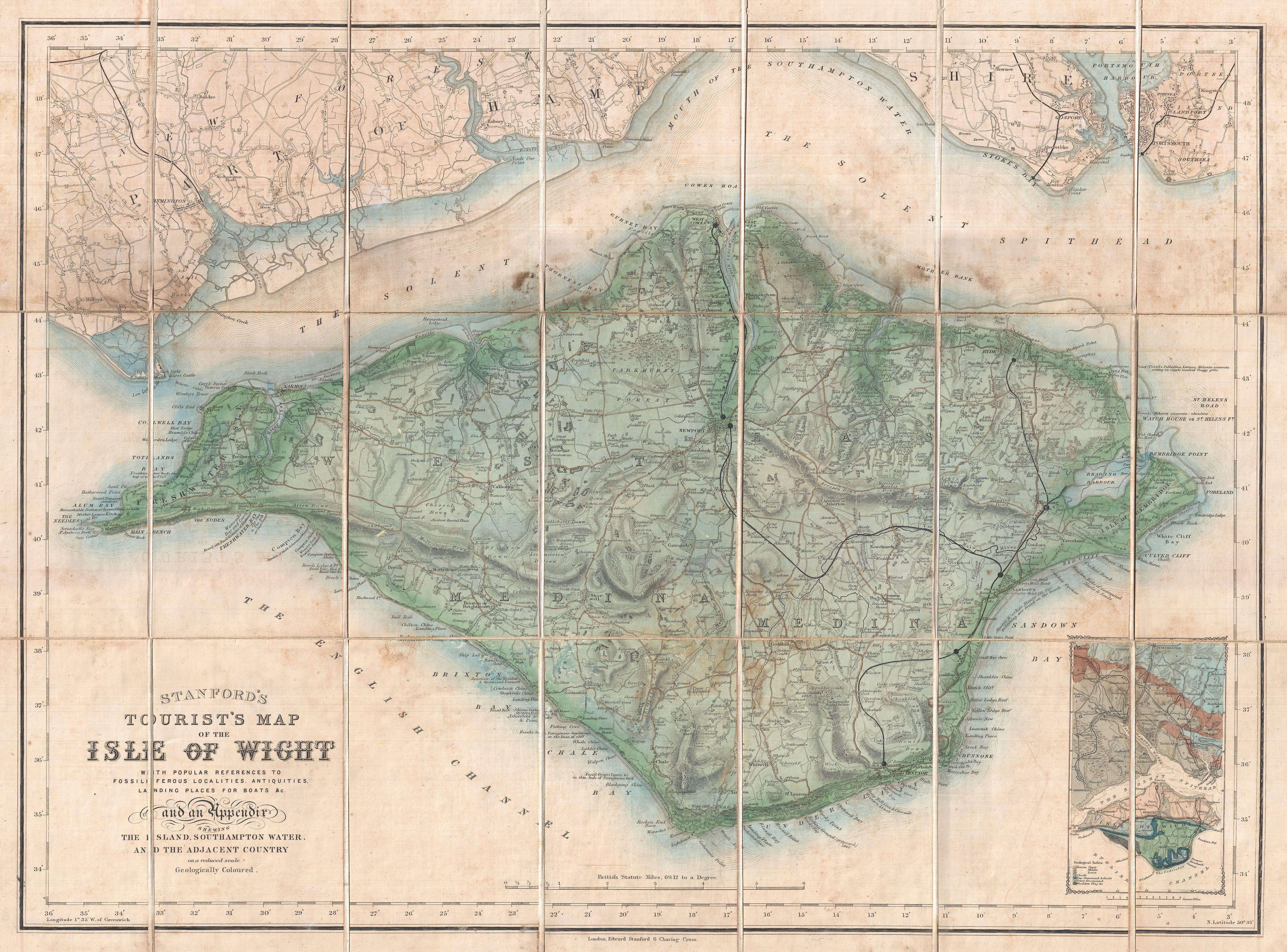
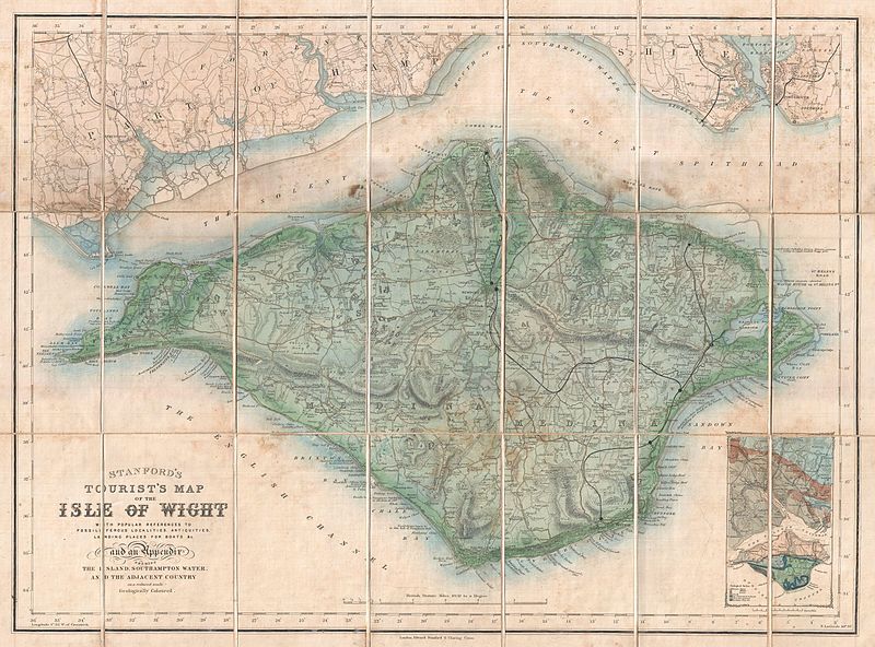
Stanford's Tourist's Map of the Isle of Wight with popular references to Fossili Ferous Localities, Antiquities, Landing Places for Boats, &c. and an Appendix showing the Island, Southampton Water, and the Adjacent Country. |
|||||
| Descriptio |
English: An uncommon 1879 pocket map of the Isle of Wight prepared by Edward Stanford. Covers the entire island as well as adjacent parts of Hampshire across the Solent Spithead. Wight is known for its unusual geology and ancient fossil’s. This map attempts to locate likely locations for fossil hunting as well the sites of various antiquities and island communities. A geological overview of the region appears in an inset in the lower right quadrant. Though most maps are without substantial provenance, this map is known to have been originally purchased for the European tour of the prominent 19th century New Yorker Andrew Haswell Green (1820 - November 13, 1903). A. H. Green was a New York lawyer, city planner, civic leader and agitator for reform. Called by some historians a hundred years later the 19th century Robert Moses, he held several offices and played important roles in many New York projects, including the development of Riverside Drive, Morningside Park, Fort Washington Park, and Central Park. His last great project was the consolidation of the Imperial City or “City of Greater New York” from the earlier cities of New York, Brooklyn and Long Island City, and still largely rural parts of Westchester, Richmond and Queens Counties. In 1903 Green was murdered in a case of mistaken identity. He is buried in Worcester. In 1905 his family estate in Worchester was turned into a public park. Green's personal effects and other belongings were stored for over 100 years until recently being rediscovered and offed for sale. |
|||||
| Datum | 1879 (undated) | |||||
| Dimensions | Altitudo: 19.5 in (49.5 cm); Latitudo: 26 in (66 cm) | |||||
| Accession number |
Geographicus link: IsleofWight-stanford-1879 |
|||||
| Source/Photographer |
|
|||||
| Permissio (Reusing this file) |
|
|||||
Historia fasciculi
Presso die vel tempore fasciculum videbis, sicut tunc temporis apparuit.
| Dies/Tempus | Minutio | Dimensiones | Usor | Sententia | |
|---|---|---|---|---|---|
| recentissima | 00:53, 25 Martii 2011 | | 6 000 × 4 441 (6.89 megaocteti) | BotMultichillT | {{subst:User:Multichill/Geographicus |link=http://www.geographicus.com/P/AntiqueMap/IsleofWight-stanford-1879 |product_name=1879 Stanford Pocket Map of the Isle of Wight, England |map_title=Stanford's Tourist's Map of the Isle of Wight with popular refere |
Nexus ad fasciculum
Ad hunc fasciculum nectit: